About The Study
Navigate The Page
Alignment with the Previous Planning Efforts
The Rio Reimagined Active Transportation Study represents the next chapter in more than 60 years of planning, visioning, environmental stewardship, recreation development, floodplain management, and economic revitalization efforts along the Salt, Gila, Agua Fria, and Hassayampa river systems. Rather than introducing a new vision, the Active Transportation Study advances and integrates the collective aspirations of numerous plans, studies, restoration initiatives, and infrastructure investments that have shaped the corridor since the original 1966 Arizona State University Rio Salado Project.
Connection Through the Corridor
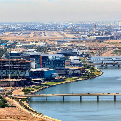
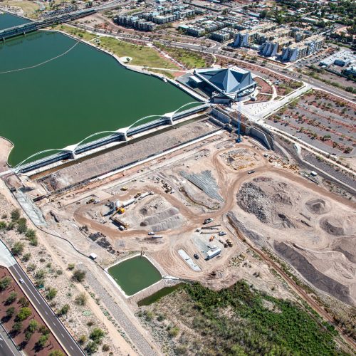
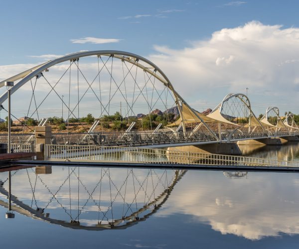
The foundation for today’s Rio Reimagined vision can be traced to the original Rio Salado concept, which envisioned the river corridor as a regional asset capable of connecting communities through recreation, open space, transportation, economic development, and environmental enhancement. Subsequent planning efforts throughout the 1970s, 1980s, and 1990s refined this vision by exploring opportunities for flood management, recreation, public access, environmental restoration, and corridor revitalization. These efforts ultimately demonstrated the long-term value of investing in river-oriented infrastructure and public spaces, most notably through the successful implementation of Tempe Town Lake and associated riverfront revitalization projects.
The Active Transportation Study also builds directly upon regional open space and trail planning initiatives that identified river corridors as critical components of the Valley’s future recreation and transportation network. Plans such as the MAG Desert Spaces Open Space Plan, the Maricopa Trail Master Plan, and numerous municipal open space and trail plans established the importance of creating interconnected recreational and transportation networks that link communities, parks, preserves, employment centers, and cultural destinations. The Rio Reimagined corridor provides a unique opportunity to realize many of these long-standing regional connectivity objectives.
Within the western portion of the study area, the Active Transportation Plan advances recommendations established through the El Rio Watercourse Master Plan, Area Drainage Master Plan, Environmental Resources Report, Landscape Management Guidelines, Design Guidelines, and associated restoration planning efforts. These plans emphasized:
- Importance of Balancing Flood Management
- Habitat Restoration
- Recreation
- Public Access
- Open Space Preservation
- Regional Trail Development
The Active Transportation Plan expands upon these recommendations by identifying corridor-wide trail alignments, multimodal connections, access points, amenities, and implementation strategies that support a comprehensive recreation and mobility framework throughout the Rio Reimagined corridor.
Alignment with Environmental Restoration
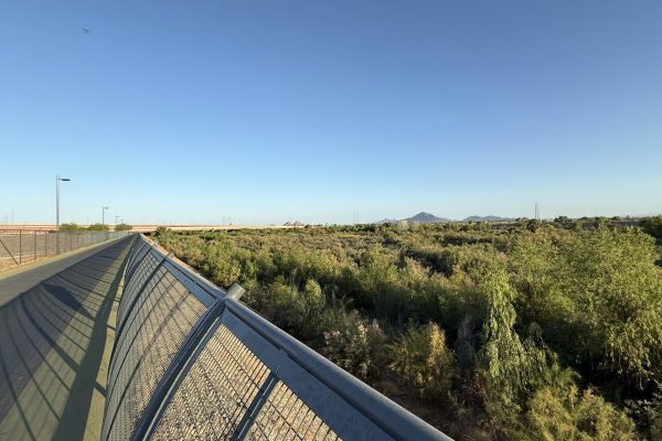
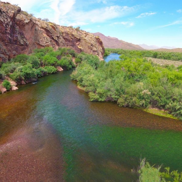
The plan further aligns with numerous ecological restoration and environmental planning efforts, including Rio Salado Habitat Restoration initiatives, the Tres Rios Ecosystem Restoration Program, riparian restoration strategies, invasive species management programs, and more recent natural resource planning efforts. Consistent with these previous studies, the Active Transportation Plan recognizes the rivers as environmental assets and seeks to improve public access while supporting habitat conservation, ecological restoration, climate resilience, and long-term stewardship of natural resources. Environmental stewardship remains a core organizing principle throughout the plan and reflects a longstanding priority identified across previous corridor planning efforts.
Following the establishment of the Rio Reimagined partnership in 2018, participating agencies adopted a shared vision centered on reconnecting communities to their rivers, promoting environmental stewardship, supporting economic opportunity, and creating a metropolitan-scale vision for the region’s river corridors. The Rio Reimagined Active Transportation Plan directly advances each of these goals by creating a framework for a continuous and connected active transportation system that improves access to river corridors, enhances multimodal mobility, strengthens regional recreation opportunities, and supports future investment throughout the study area.
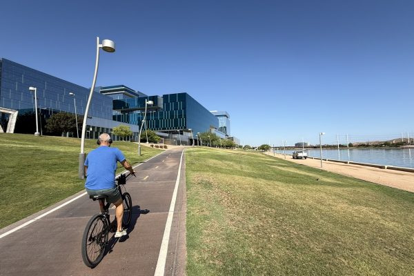
The plan also contributes to broader ongoing initiatives, including the Urban Waters Federal Partnership, RIO PHX, regional vision planning efforts, and corridor redevelopment programs occurring throughout the Salt and Gila river systems. By establishing a coordinated active transportation network across approximately 90 miles of river corridor, the study creates the physical framework needed to connect existing and future investments, support river-oriented redevelopment opportunities, expand recreation access, and improve regional mobility. In doing so, the plan helps translate decades of planning concepts into implementable projects and actionable priorities.
Most importantly, the Rio Reimagined Active Transportation Study reinforces many of the recurring themes that have consistently emerged throughout the corridor’s planning history: reconnecting people with their rivers, expanding public access, improving regional connectivity, promoting environmental stewardship, protecting cultural resources, fostering economic development, increasing climate resilience, and enhancing quality of life for residents and visitors. The study serves as a unifying framework that brings together these longstanding objectives into a comprehensive corridor-wide strategy, ensuring that future active transportation investments continue to advance the broader Rio Reimagined vision and the collective aspirations of the region’s communities and partner agencies.
Planning Timeline
Planning Documents, Studies, Initiatives, and Projects (1966-Present)
Click here to experience the progress of the Rio Reimagined Corridor Project dating back to the 1960’s. Learn about the time and work that has gone into emphasizing recreation, the local economy, environmental restoration and more.